I swear this happens every time. I knew it was going to be too much. But with mild annoyance, I went along with it. Heck, it was my idea to begin with. Although I would have made it shorter if I had my way. But still, I can only blame myself. I knew what I was getting into.
Two years ago, Hawk and I started section hiking the Monadnock-Sunapee Greenway. He had recently thru-hiked it, and suggested it would be a nice thing for us to do together. And I could get a hiking patch for it, so of course that was added incentive. Unfortunately, after that first section, we did not have the chance to return to it until now. It's a nice trail, overall moderate, with varied sights and terrain. The MSG is especially designed for backpackers, and set up with camp shelters at a few points along its 48 mile stretch. However, it is also readily accessible to regular day hikers who just want to hit specific points on the trail, or hike the entire greenway in sections. Obviously, my goal is the latter.
I was hiking a lot more "big" hikes prior to 2021, and in better shape for longer outings. I was also two years younger, and two years fewer broken down from work. Things kinda cascade in middle age, ya know? Still, even then, we hiked 11.7 miles on that first MSG section, with only 1230 feet of elevation gain, and I remember my body hitting its breaking point before the end. This weekend's stats predicted just under 10 miles and nearly 2000 feet of gain. (And I know the mileage is ALWAYS more than the stats say.) This was basically double the few significant hikes I've done lately. And I was coming off a physically difficult work week. Ugh. I seriously questioned going through with it.
But we did it. And obviously I lived, else I wouldn't be writing this. I reasonably managed the ensuing pain with immediate repeated doses of arnica and plenty of Deep Blue. (Immediate treatment before my body seizes up seems to be key.) Plus frequent stretching and yoga before, during, and after the hike. And it sounds ridiculous, but on this gorgeous 72 degree day, I drove home with all of my car windows down and my seat warmer cranked up. I think the heat application really helps soothe my back and hips. I might just keep them going year round! All of this isn't a perfect cure, but it definitely takes the edge off. My legs were still too achy for any activity the next day, but I don't feel like I'll be quite as broken in the coming week as some more extreme hikes have made me. That said, I will not be doing mileage in the double digits again for a while. If I was in stronger condition, I probably would have handled it slightly better, but I'm not there yet. The good news is, I held up well until mile 7, which is longer than usual for me, so there is promise of improved fitness. Of course, it all depends on what kind of elevation I'm getting, too. It's always a combination factor.
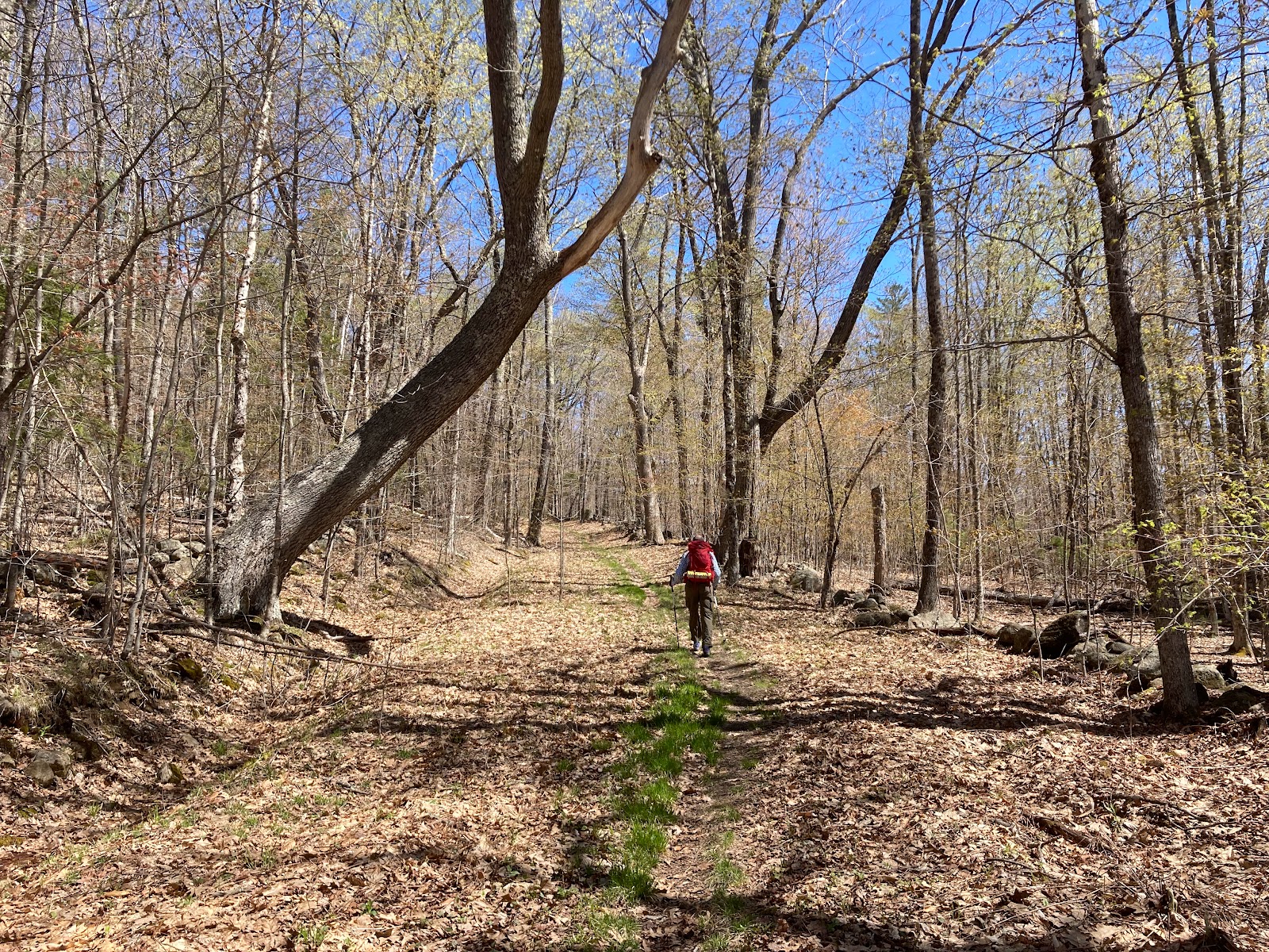
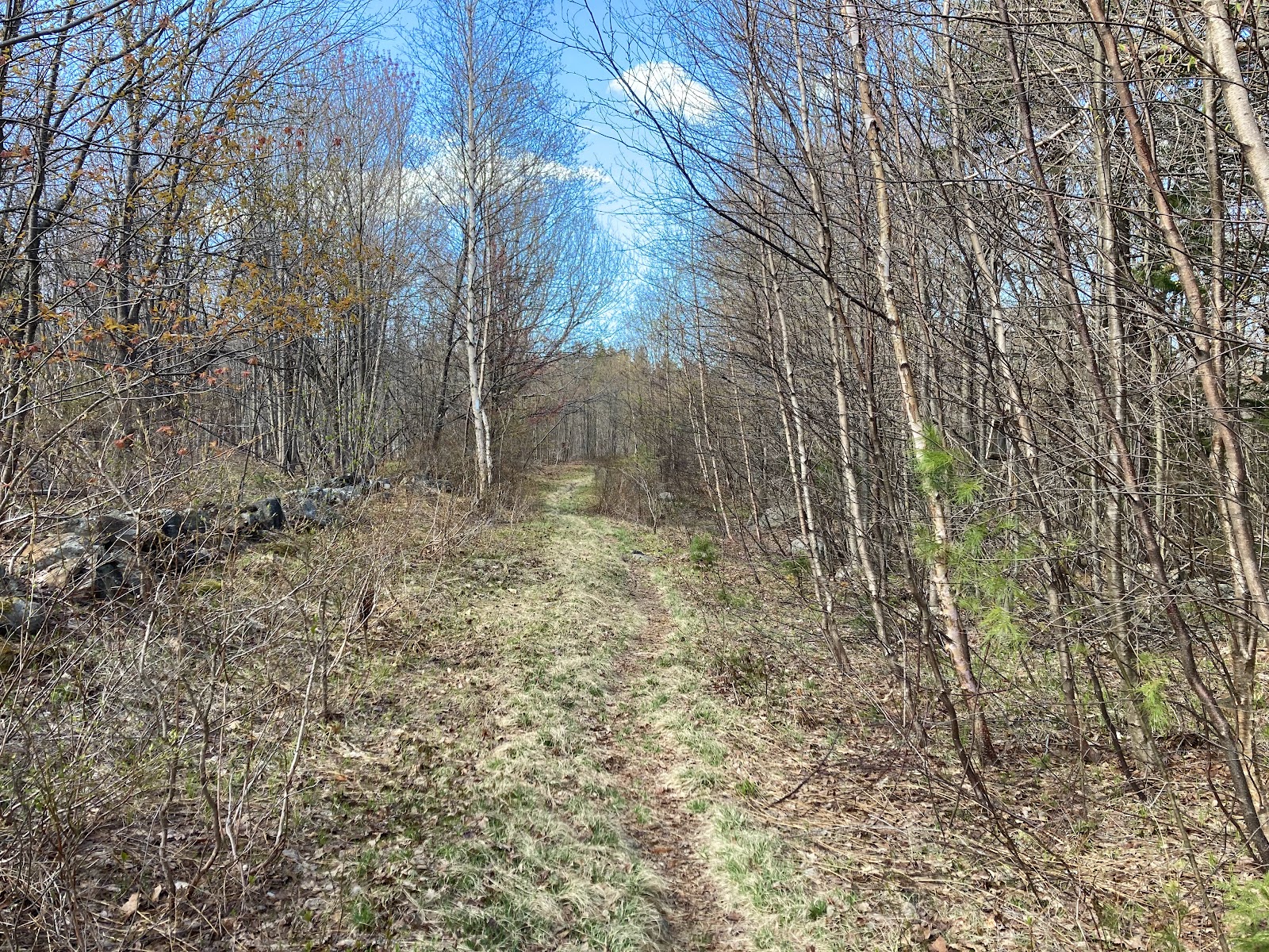
On this hike we totaled a bit over 11 miles. I would have done well to stop at 8 or maybe 9. The elevation was nearly 2000' as promised, but it was spread out well, and thankfully we didn't really have any steep ascents to speak of. That probably saved me from completely breaking down. Trail conditions ranged from fairly unpleasant to very nice. The second half was nicer than the first overall, which may be for the best, because I would have felt that much more miserable trudging through ditches and crap at the end. So at least it was pleasant, other than my body strongly disagreeing with my energy.
 |
| The man who can't seem to grasp the concept of valid physical limitations. |
But enough bitching; let's get to the more interesting details of this hiking adventure…
Right off the bat, we avoided a huge disaster. We used a car spot, leaving my vehicle at the end, and taking Hawk's to our starting point. After gearing up, we began hiking down the trail, or road walk as it was. Not but a few hundred feet later, Hawk asked me, "This is a dumb question, but you brought your car keys, right?" Gasp! Nope! Out of habit, I had stupidly left them in his SUV. Boy were we both glad he said something, and not after we'd gone any real distance! We turned back to the parking lot, grabbed my keys, and for the second time, began our hike.
 |
| I took a moment to snap a picture of this lovely spring garden on our second pass. |
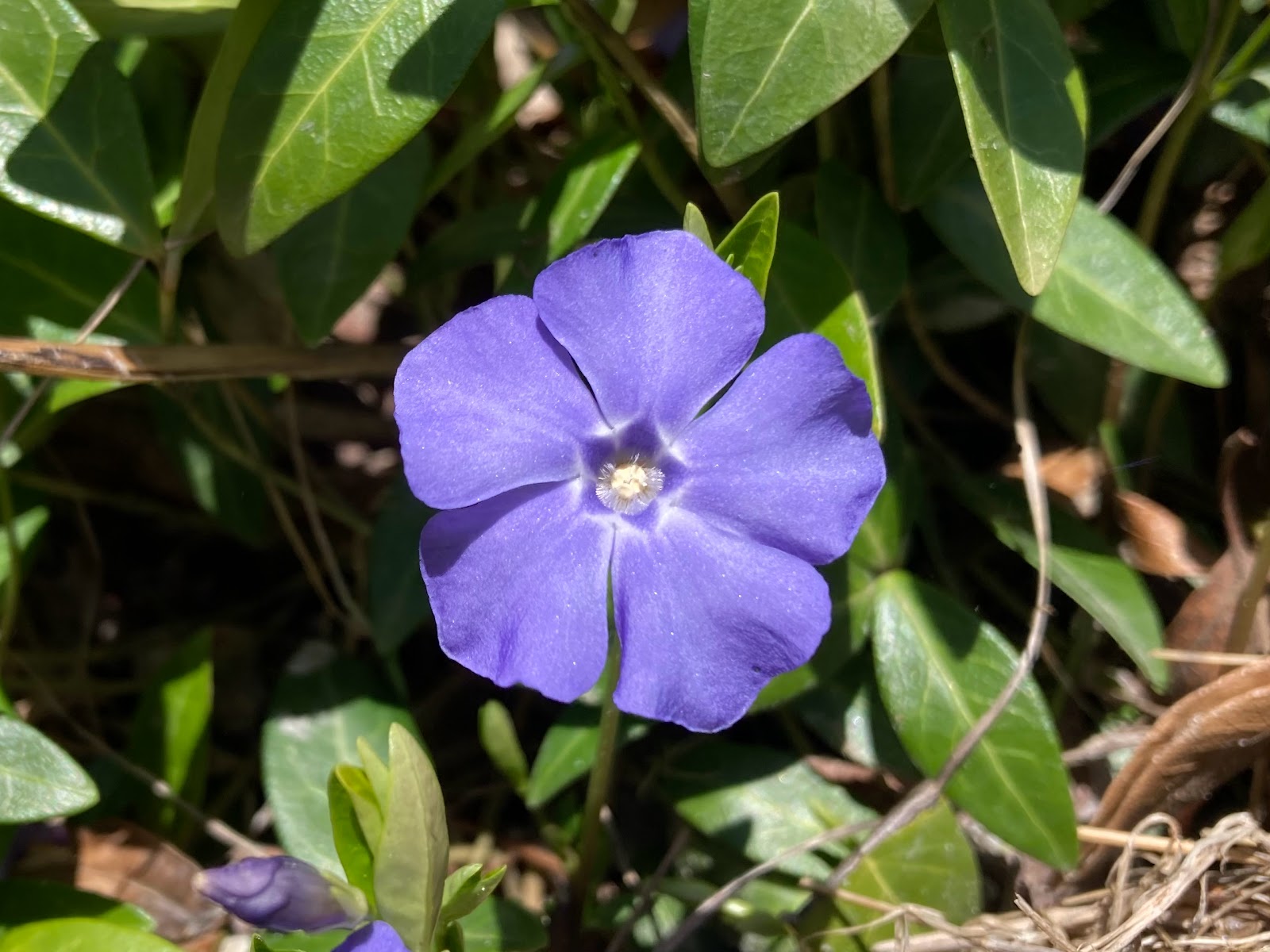
It was enjoyable seeing the flowers blooming, and spring (finally!) coming to life. We passed an impressive beaver dam en route, and several other interesting woodland and small-town sights. We also spotted a butterfly (which google tells me is a common Mourning Cloak), and a very pretty striped bird who seemed friendly and curious. Google identified him as a Black-and-white Warbler. Cool!
An hour in, we encountered our next piece of excitement. We approached Route 9, which the trail crosses. But you have to cross in a specific, unique way. You must go under the road through a tunnel. That sounded fun! Until I realized what the tunnel was. As Hawk searched ahead for what he recalled being a tricky to find entrance, I walked over to the kiosk where there was a map with directions on how and where to cross.
A culvert? Oh, that does not sound fun after all the recent rain. On the plus side, the tunnel itself was not at all what I pictured as a culvert, and was in fact pretty cool. On the downside, getting to the tunnel was, well... let's say an adventure.
Thanks to the map, I found the trail to the underpass fairly easily, as it was decently blazed. I was a little amused by Hawk momentarily arguing that he didn't necessarily think it was the correct route, and me pointing out that a blaze was right there on a roadside tree by a rough path, so obviously it is the right way. Dropping down the bank to a rushing stream, we found submerged stepping stones, complete with another blaze on one, which led to the other side of the water, where it's a few brushy steps to a tunnel sidewalk. There would be no avoiding wet feet, unfortunately. I wondered if I should take my socks off before crossing, then put them back on after reaching safe ground. Hawk insisted it was an unnecessary waste of time. I instantly regretted not following my intuition. After getting my poles out to help me cross safely, I sucked it up and carefully stepped across, my feet immediately getting soaked. Most people are familiar with how unpleasant wet shoes and socks are. Thankfully, my trailrunners dry fast, and Darn Tough socks wick and dry almost as quickly, so the irritation of wet feet was relatively short lived. Of course, the warm weather made a huge difference, I'm sure; experiencing this not even a month ago would have been far more miserable and potentially even dangerous on a cooler day. But at least it was a good lesson for me in how getting wet feet in summer conditions isn't so horrible. Another piece of good news is that the bath my shoes got rinsed away a stain one of them had. The bad news is, I quickly gained a new streak of mud and water stain. Well so much for making my purple shoes pretty again.
We made good time in the beginning. Shortly after 1 pm, we had already hit the "halfway point," Crider Shelter. I was definitely ready for a break by then. Hawk checked his map as we sat and had lunch, and pointed out that we actually had less than 4 miles left, so we were further along than expected. And he stated that we only had a 300' climb remaining, after which it flattened. That was all very encouraging. At this rate, we might even make it home in time for a reasonable dinner! And maybe the hike wouldn't kill me either. So much for that theory too…
Before setting back out on trail, I used the "Crider Crapper," as a sign entertainingly called it. What I love about hiking trails with shelters is that there are privies. I struggle to pee standing/squatting, despite having a handy Shewee device, so I'm beyond happy to have somewhere to sit. The MSG employs mouldering privies, which seem to be one of the most environmentally friendly options. Hawk and I agreed that we'd take any kind of privy over a port-o-potty any day. (Well, as long as it's not infested with a bees' nest or ever-troublesome flies.) The "interesting" thing about mouldering privies is that they work via airflow, so they aren't generally enclosed like your standard outhouse. Basically, you're sitting on a raised box in the woods. The first one I used on our MSG section 1 hike was literally just that; no walls, just sitting there in full view of the forest. I honestly didn't care at that point. Crider's privy was a bit fancier, with a three sided half-wall surrounding the higher platform, giving at least some sense of privacy. I was also seriously impressed with how clean it was, esp. for being out in the elements. Beyond wiping a couple specks of dust off the seat, it was practically spotless! Certainly better than most public restrooms. In hindsight, I wonder if the man we met coming out of the shelter, who seemed like maybe he was a steward, had actually just cleaned the toilet area.
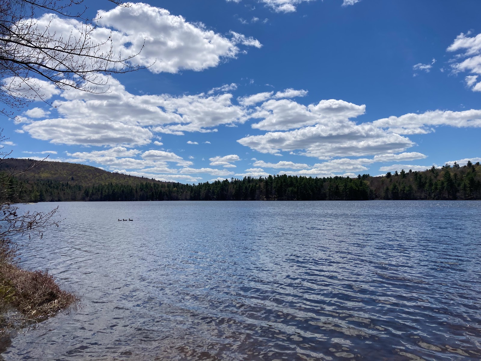
Happily, the trail past the shelter continued to be gradual in its elevation gain, and we got over the next hill without excessive difficulty, enjoying more interesting sights along the way. There were neat turkey tracks in a mud puddle on yet another road walk, which led us through a quiet lakefront village. Here we found a cute little chapel off to the side, with benches, a bridge over a stream, and a sign offering free water, which was held in a sort of wishing well. It was a really sweet discovery. The adjacent pond was lovely as well.
 |
| Spring is here, the sky is blue, birds all sing as if they knew. |
The sky was indeed a beautiful bright blue, and much of the time a gentle breeze kept us comfortable in the warmth and the black flies at bay. My hips were starting to bother me, but I took comfort in the expectation of having only a couple miles left and the promise of little more elevation. Sadly, a section of trail had been rerouted, which added an extra hilly mile to our journey that Hawk was not familiar with. The new trail was nice enough, but felt so pointless, moving off the road then back onto it, in a totally inefficient route. I suspect it was necessary due to losing a right-of-way access point.
I was definitely hitting my physical limit. When Hawk later announced that we had another 400' climb and basically as many miles as he had stated at the shelter, I was justifiably, ahem, displeased. I mean, excuse me? Unintentionally or not, I had been misled. I honestly did not want to hear anything further about what the trail was supposedly going to do at this point; I just wanted to get it over with. I was still enjoying the scenery, at least, but my body was spent. I stopped several times to rest and stretch, refusing to push myself harder or to be pushed, knowing my body's limits and needs. We definitely were not making excellent time anymore. And the black flies were getting worse as the day wore on. But slowly and surely we continued toward the end.
One final highlight was passing by Robinson Brook and several small cascade waterfalls. It was a beautiful area, and the trail was great. About an hour beyond this, we climbed yet another hill to blueberry fields, which I'm sure are a delightful find in blueberry season. I also found a magnificent boulder that had a perfect chair formation in it. If not for the bugs, I would have sat there much longer! At last we neared our finish point, made what may have been the steepest (but thankfully very short) climb of the entire hike up an embankment to Rt. 123, and crossed over to the parking lot for Pitcher Mt., where my car awaited. From there we fetched Hawk's vehicle, then we were homeward bound for dinner, a hot shower, and early bedtime. I actually slept over 8 hours that night, which is very rare for me. I guess that's what overambitious hikes will do.
 |
| Fascinating whirlpool-thing at the top of this cascade! |
5/6 MSG section 2: Nelson to Pitcher Mt. base, 11.14 mi, 1969 ft, 5:50 hrs


No comments:
Post a Comment