First, let me start by pointing out that this is not me putting my foot in my mouth after last week. I may have had another pre-dawn start, but I actually woke up a bit later than when we were headed to Chocorua. Of course, that’s the benefit of having the Belknaps basically in your backyard.
Hummingbird and I typically plan a sunrise hike around this time each year, strategically just before the clocks turn back, thereby allowing the latest start possible. I was at the end of my 52 Hike Challenge, and wanted something at least relatively "epic" for my finish hikes. We decided on a pair of outings, starting with sunrise and ending with sunset, to round out what was to be my final 52.
I picked Hummingbird up around 6:20 am and we headed to Gunstock Ski Area, which is only about 15 minutes or so from Alton Bay. As I said, the Belknaps are certainly convenient! From the main Gunstock parking lot, we made our way to the mountain coaster (which is awesome, by the way), where the Belknap Range Trail begins. This piece is technically an access road that goes to the cell tower on Mt. Rowe, but it is indeed the official trail. We figured the wide gravel road would be our safest option for hiking in low light conditions. And it was unique for both of us this year, so it counted for the 52 Hike Explorer Challenge.
This piece of BRT up to Rowe is definitely not my favorite. Hawk and I anticlimactically finished our Belknap 12 patch on this trail on a miserably hot summer day back in 2019. It's a slog; a nearly unrelenting incline with very little reward. The true summit is in the trees, and the tower is not particularly attractive. All of this felt even less pleasant in extreme heat. Little did we know then that just a few yards away, past the Rowe summit, lies a gorgeous viewpoint. Ah, the things I've learned by redlining! Sadly, we did not expend the energy then to explore Rowe, and simply turned back and aimed for home and cooling off with a swim.
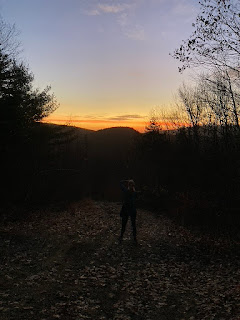
Now that Hummingbird and I have hiked every trail around Mt. Rowe, we know the pretty spots. When recently doing one of the newly added trails, we discovered another viewpoint; the site of an old alpine hut. Rowe used to be a ski area itself, in our parents' days. There still remains evidence of this in places. At this viewpoint, there is a concrete slab; the old hut foundation. On it we found a really neat stone compass that surprisingly has not been disturbed by people (or else it is frequently fixed). There also is a rock facing the overlook that proclaims a sunrise view. On our first visit, we knew we'd return to confirm that promise some day. This was the day.
 |
The dawn is breaking, a light shining through...
|
 |
And when the daylight comes, I'll have to go...
|
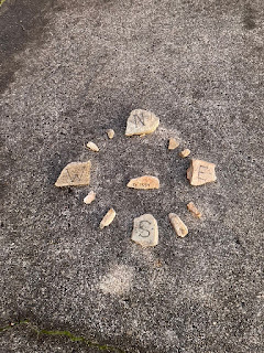 |
Sorry, I can't think of compass related song lyrics. But this is cool, eh?
|
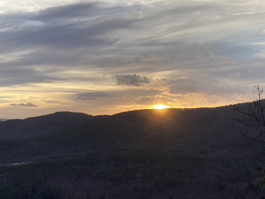
We arrived in plenty of time to watch the sun rise over the mountains and lake. Between all the photo snapping, I took advantage of the flat surface and got in my morning yoga routine, obviously including sun salutations as the dawn broke, with Hummingbird following suit. A curious Chickadee watched from nearby, hanging around for most of the time we were there.
Finally, the sun began to emerge, adding its orange glow to the long present spectacle of pink clouds. It was very lovely, and felt a fitting hike for my #51. Much as the hike up was a little rough for me that early in the morning, with zero fuel in me, I loved the reward at the end, the relaxing time spent lingering, doing yoga, hydrating with my usual smoothie, enjoying nature, and witnessing the ball of fire rise over the nearby peaks. The weather was also ridiculously nice; in the mid-high 50's at the crack of dawn. Amazingly, I did not even need gloves. Hard to believe it's November!
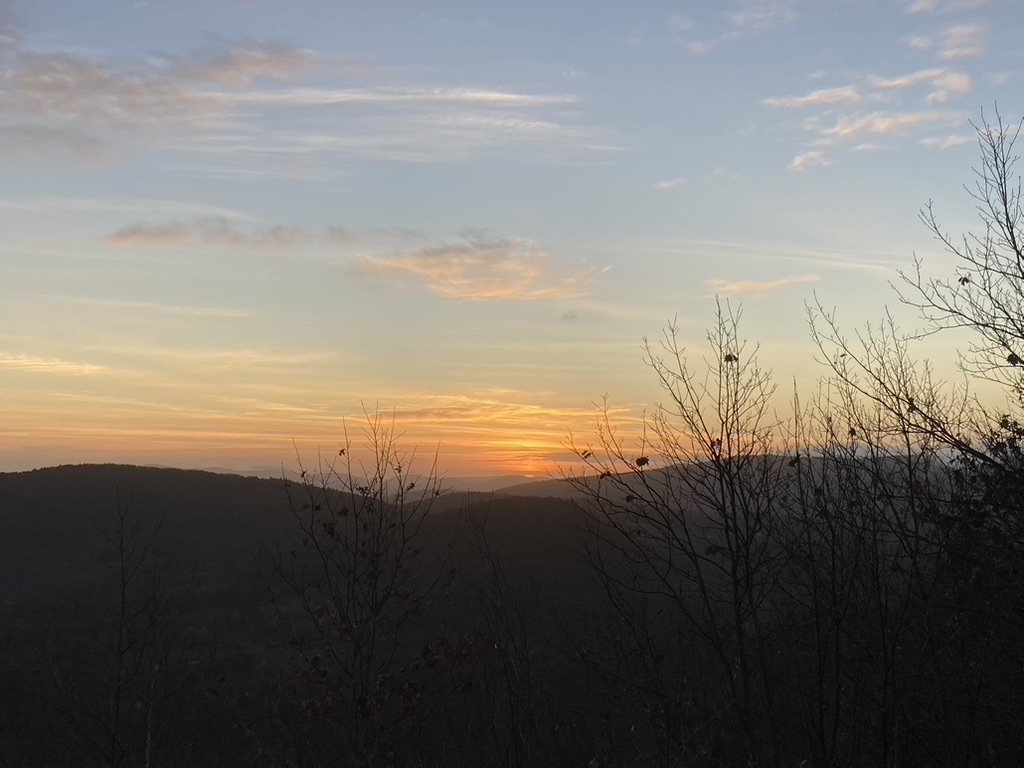 |
Here comes the sun!
|
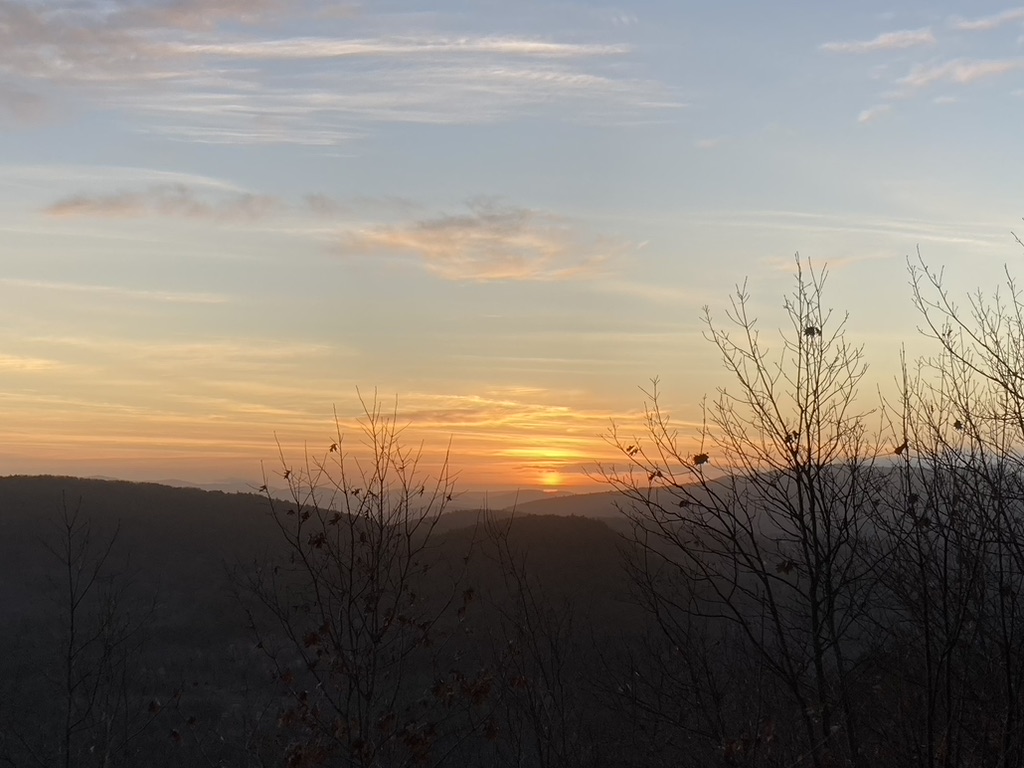 |
It's alright.
|
We had talked about making it a daylong hike, continuing from Rowe over to Gunstock, and getting in some redlining over there. But between not wanting to go too intense, and needing time for some other things during the day, we settled on an out & back. It worked out well in the end.
 |
Remnants of October. We spotted these little gourds all over the place.
|
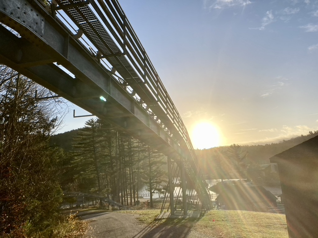 |
The sun greeting us as we finished our descent under the mountain coaster.
|
Later that afternoon, we met again for our next "chasing the sun" adventure. Hummingbird drove us up to Holderness, where West Rattlesnake Mt. sits on Squam Lake. Rattlesnake is the most popular hike in the Squam range, and for good reason. It's very easy by comparison, and has an excellent payoff. Hummingbird likens it to Pine Mt. back home, and bets that locals take full advantage of it. When she lived and worked closer to this area, she hiked it fairly often. This was my first time to Rattlesnake, though.
The trail was definitely better than Rowe's Range Trail, or at least more interesting. If we could have combined them into one hike, with Rattlesnake's Old Bridle Path, and Rowe's great sunrise, it would have been ideal. I guess in a way we did!
 |
Nearly half the trail is made of steps like this.
|
 |
You know I'm a sucker for awesome rocks.
|
I immediately loved the summit on West Rattlesnake, even before I saw the view. It's all about the rocks! The first viewpoint features a very cool formation that looks like it's practically made to be a climbing playground. Obviously climbing it was the first thing I did, after eagerly waiting for Hummingbird to get her photo of the boulders. The nearby summit itself is a mass of smooth, swirled rock slabs that looks like they were formed underwater. Of course, the view is also fantastic.
 |
The clouds have a silver lining.
|
Unfortunately, the sunset was not as epic as it could have been. But it was still pretty enough, and I spotted the almost-full moon rising over the lake, so that was a nice touch. And of course, we accomplished a bit of Squam redlining as I finished hike #52! We found the prettier sunset colors down in the parking lot, so maybe we just didn't stay on the summit long enough after the sun sank behind the neighboring mountaintops, but it was worth not hiking down in the dark. I still enjoyed the remaining sunset during the drive home.
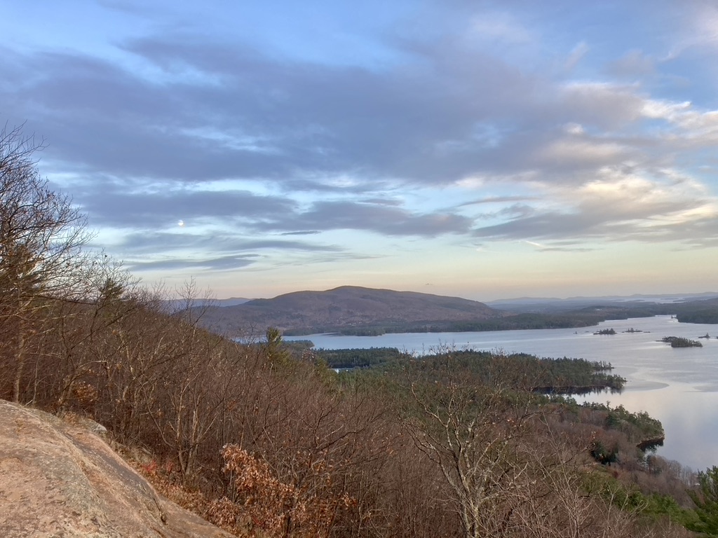 |
The moon peeks out from the clouds, to the left.
|
 |
Another 52 hikes accomplished!
|
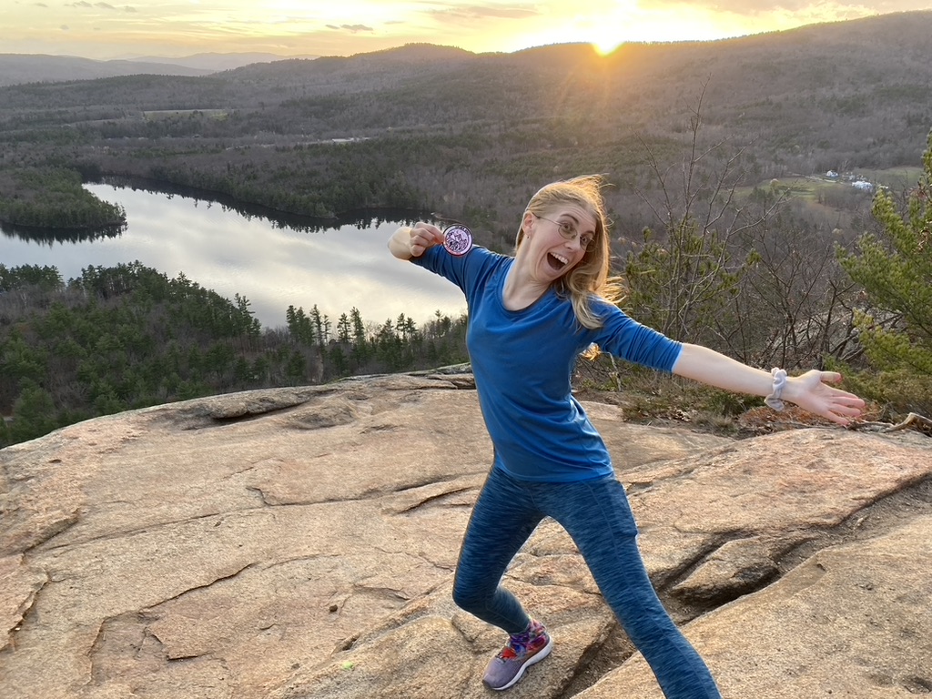 |
Yes, I know I'm silly.
|
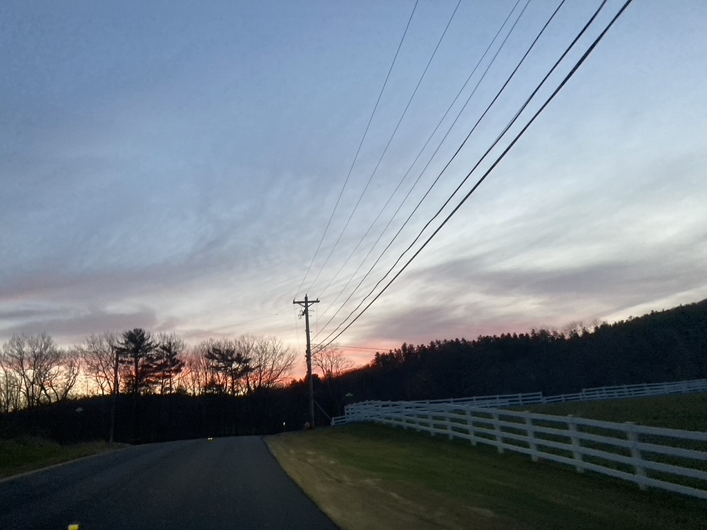 |
Photos from inside a moving vehicle don't do justice to how colorful the end of the sunset was.
|
I'm technically considering this my final 52 Hike Challenge, however I can't guarantee I won't do it again. I know some people who double it for a "104 hikes in a year" goal. Maybe I'll go for that. There are plenty of other hiking goals I still have though, so we will see. It's always something I can consider further into 2023.
But for the real epic finish to this year's 52 unique hikes… brownie & ice cream for supper. Yeah, I did.
 |
Gluten free brownie & avocado ice cream. The best!
|
Hike 51. 11/5 Mt. Rowe sunrise, 2.4 mi, 1:15 hrs, 709 ft.
Hike 52. 11/5 West Rattlesnake Mt. sunset, 2 mi, 56 min, 413 ft.


No comments:
Post a Comment